Hiking
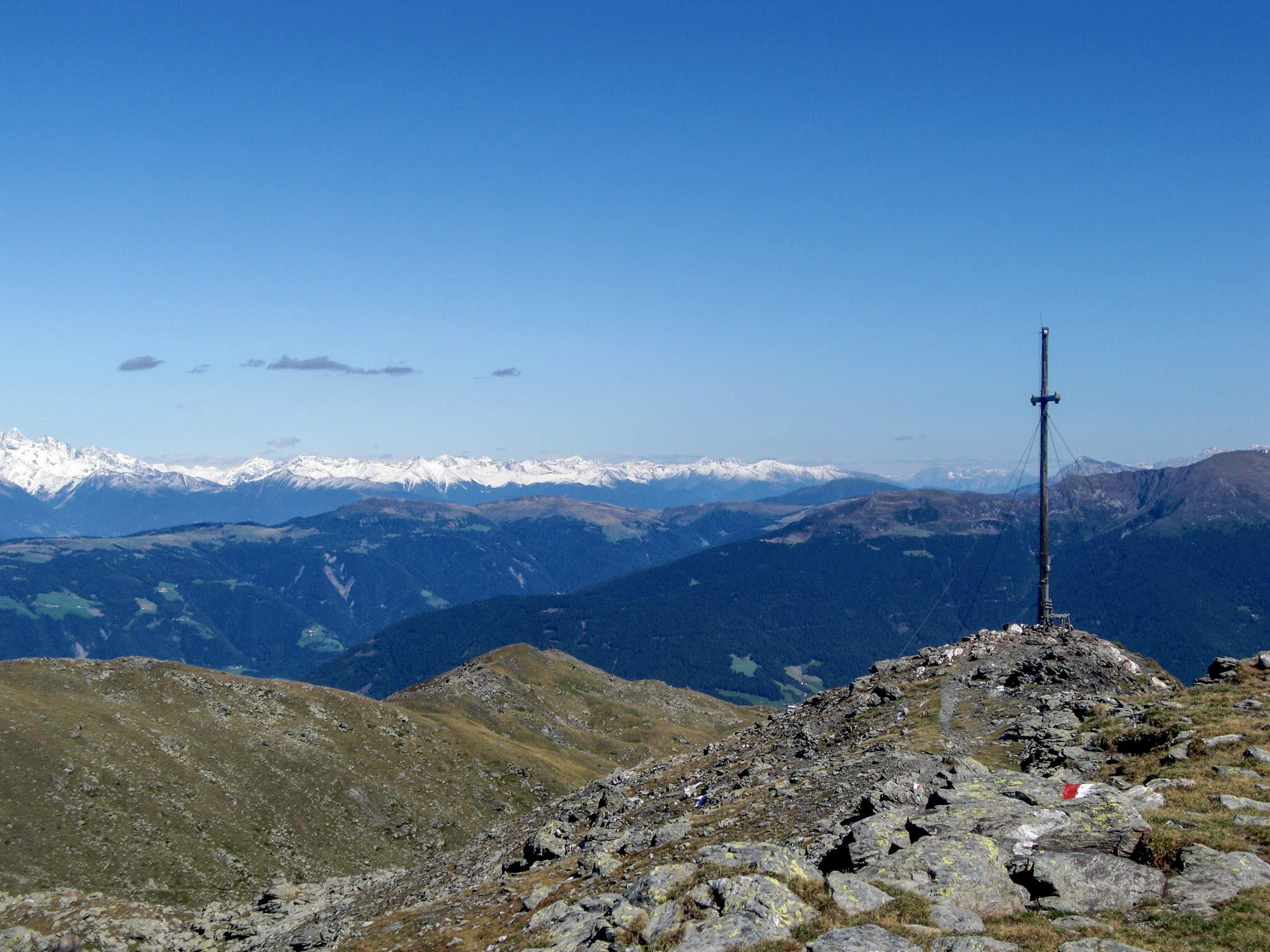
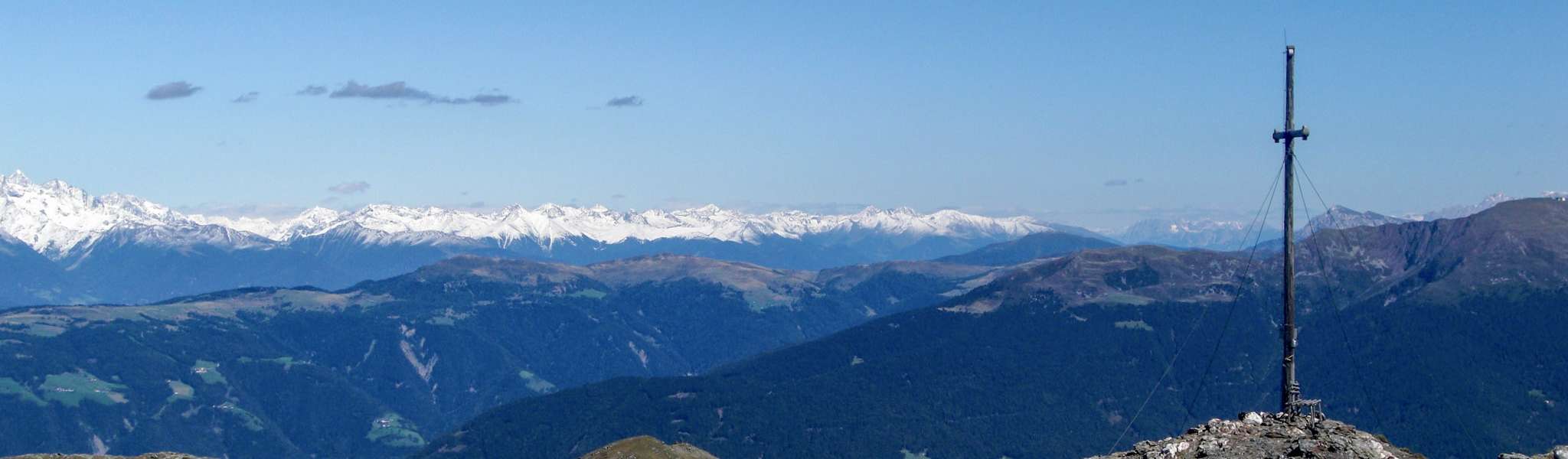
Königsangerspitze
Description:
From Bressanone, via the villages of Pinzagen and Tils, up to just below the Perlungerhof farm in the hamlet of Gereuth (parking available). From there, follow trail marker 8, partly moderate, partly steep, through beautiful coniferous forests and open slopes to the Radlsee lake or Radlseehaus (open in summer). From there, take the good trail marker 7 through grassy and scree slopes up to the summit.
Descent as per ascent route or via the Hundskopf.
- Ascent: approx. 3 hours
- Descent: approx. 2 to 2.5 hours
- Elevation gain: 1,060 m
Alternative: Ascent also possible from the Garner Wetterkreuz above Feldthurns.